Based in Yelm
Assignments are reviewed across Western Washington according to location, travel, access, airspace, weather, and the requested scope.
About Skyline
At Skyline Aerial Solutions, our work includes photogrammetric mapping and 3D modeling for active construction sites, select-project Reality Models, Security Operations support, commercial real estate imagery, and inspection documentation across Western Washington. We organize each assignment around the client's objective, the team using the information, site conditions, and the final deliverables.
Operating Approach
Assignments are reviewed across Western Washington according to location, travel, access, airspace, weather, and the requested scope.
Commercial flights are reviewed against the operating rules, aircraft, airspace, site access, weather, and people involved in the assignment.
Skyline maintains $1 million in liability insurance for commercial UAS operations.
We define the objective, authorized areas, operating contacts, schedule, limitations, and deliverables with the client before field operations begin.
Field Capability
Capability does not replace suitability. Skyline explains where visual imaging, thermal, aircraft rotation, mapping, or remote viewing can add value and where the conditions or equipment impose limits.
Skyline selects visual or thermal-capable capture according to the question, environmental conditions, site constraints, and the limits of the sensor.
When the site and connection support it, approved stakeholders can join a scheduled private viewing session and request useful viewpoints.
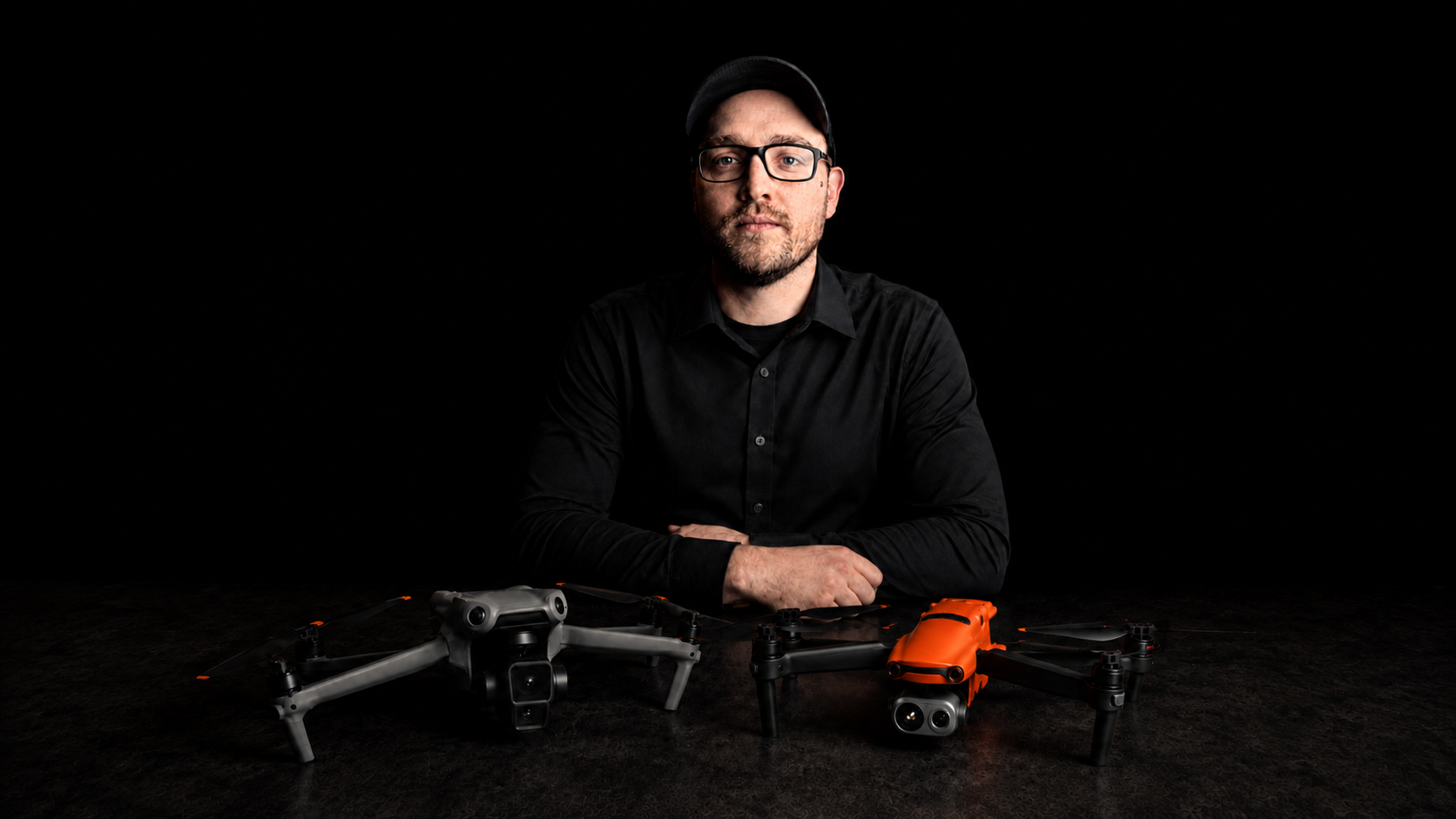
Selected assignments can use two aircraft to reduce battery-cycle downtime and maintain coverage with limited interruption.
Get in Touch
Include the location, schedule, site conditions, and the people who will use the imagery or live view. We will follow up with the right service path.